samruddhisurvey

Our Instruments

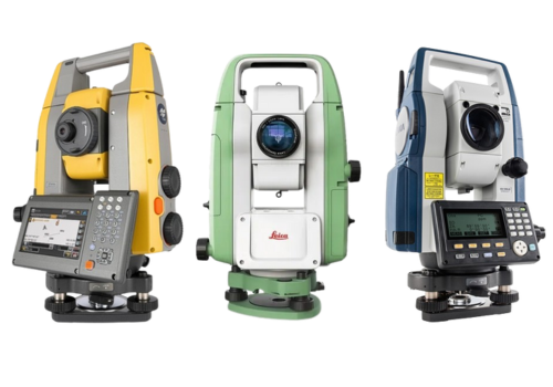
Total Station Survey Instrument

Total stations are advanced surveying instruments that combine an electronic theodolite and an electronic distance measuring device (EDM). These versatile tools enable surveyors to measure both angles and distances simultaneously, allowing for precise calculations of coordinates, elevations, and angles. Total stations are essential for conducting topographic surveys, boundary determinations, and construction layout tasks. With their ability to communicate wirelessly and store data, modern total stations have revolutionized the surveying process, enhancing efficiency and accuracy
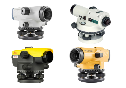
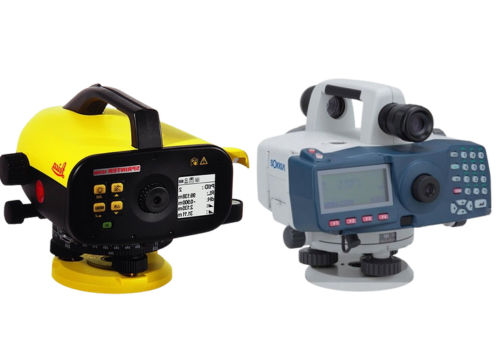
Auto Level Survey Instrument

An Auto Level is a level with a compensator. Professional Optical Automatic Levels are built for the construction site. They are quickly set up, very precise, and top every comparison of price to performance ratios. The optimally designed telescope provides exceptionally bright and sharp view that reduces operator’s eyestrain. Quick collimation and horizontal angle measurement combine for fast and easy aiming of layout and alignment tasks.
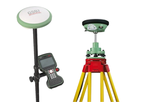

DGPS Instrument

 Leica Survey GPS GNSS Systems – compact and lightweight GNSS smart antennas for accurate and reliable positioning work from Leica Geosystems. It is designed for construction and surveying professionals seeking precision and efficiency. These GPS systems feature advanced GNSS technology, rugged durability, and user-friendly interfaces.

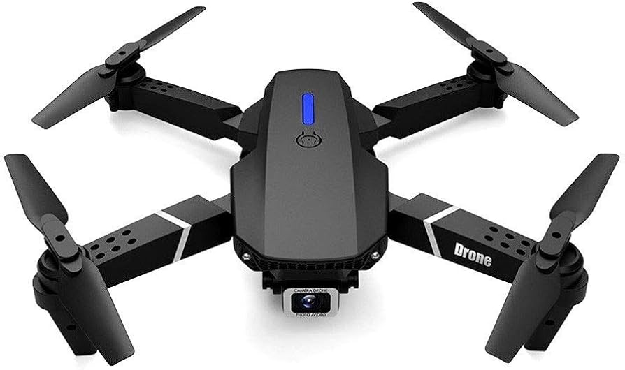
 Drone Survey Instrument

 Survey drones generate high-resolution orthomosaics and detailed 3D models of areas where low-quality, outdated or even no data, are available. They thus enable high-accuracy cadastral maps to be produced quickly and easily, even in complex or difficult to access environments. Improve the efficiency of data collection and processing up to 10 times, acquiring deliverables quickly and shortening project lifecycles.

 Electronic Level Instrument

 A digital electronic level reads a bar-coded staff using electronic laser methods. The height of the staff where the level beam crosses the staff is shown on a digital display. This type of level removes interpolation of graduation by a person, thus removing a source of error and increasing accuracy

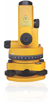
 Laser Plummet Instrument

 Laser plummet is used in a total station is used for accurate centering over a station; It has either a bullseye or cross-hair sight for positioning. This laser plummet is a high precision instrument with both up and down beams. It’s easy to locate points vertically above and directly below a given reference point. The laser is widely used in the construction industry. From mining applications, elevator shaft alignment to tower observation and monitoring