








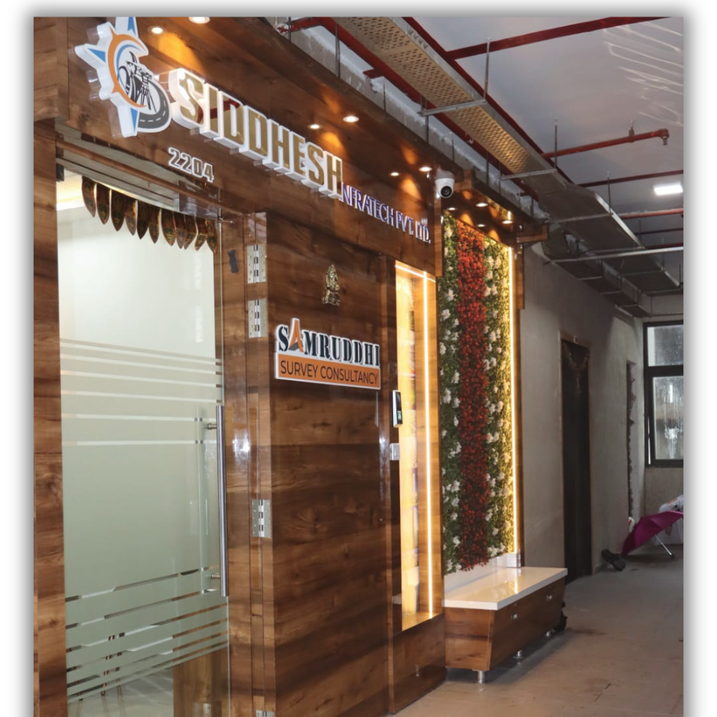
Samruddhi Survey Consultancy (SSC)
Samruddhi Survey Consultancy (SSC) has expanded its operations from a well-equipped office in Nerul (Navi Mumbai), Maharashtra. Being a survey partner, our focus is on reinforcing relationships with our clients by gaining in-depth understanding of their projects and meeting land survey challenges. SSC promises of being professional, prompt, punctual and perfect in all its endeavours.

Samruddhi Survey Consultancy (SSC)
SSC is a leading service provider in the domain of land surveying in the last 25 years. Our rich expertise and experience enable us to deliver competent consultancy services across real estate, construction and corporate sectors. Backed by a team of skilled professionals, we undertake a variety of survey services ranging from Engineering land survey, contour survey, layout plot demarcation, plot preparations and volume of excavation and filling of earthmoving works & many more. SSC has various completed projects and current projects running in and around different states of India – Maharashtra, Gujarat, Chhattisgarh, Madhya Pradesh and Odissa.
Samruddhi Survey Consultancy (SSC) has expanded its operations from a well-equipped office in Nerul (Navi Mumbai), Maharashtra. Being a survey partner, our focus is on reinforcing relationships with our clients by gaining in-depth understanding of their projects and meeting land survey challenges. SSC promises of being professional, prompt, punctual and perfect in all its endeavours.
Our Clients














Accuracy And Precision In Every Survey.
Advanced level instruments used for survey related work. Modern land survey data is now stored and managed in specialized CAD, GIS, and mapping software that can process massive point clouds, high-resolution drone images, GPS data, robotic total station datasets, and more.
Why Choose Us


