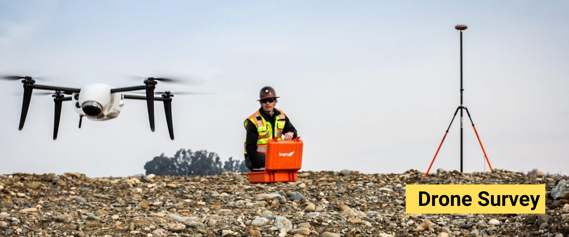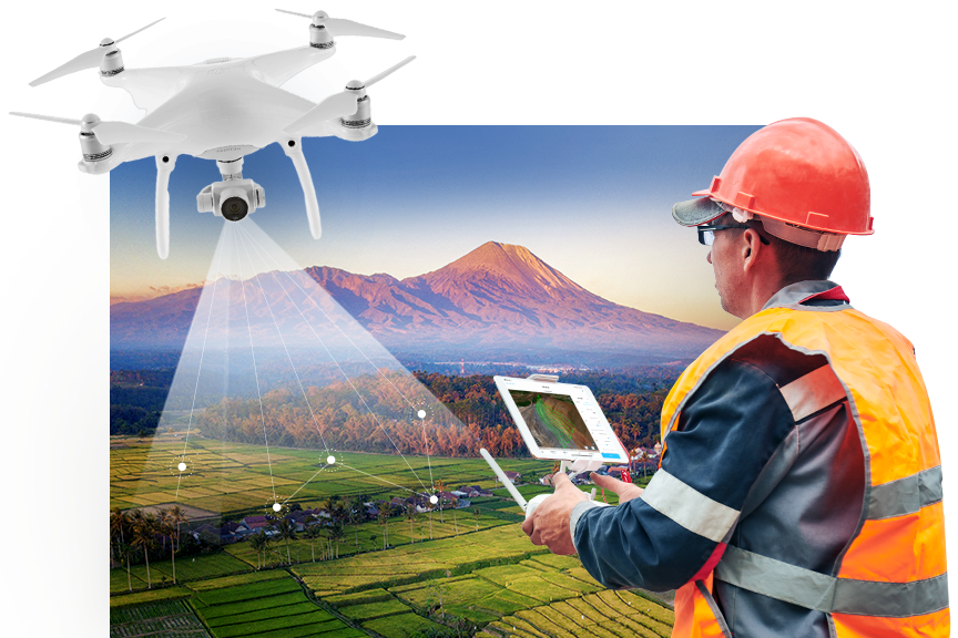
Drones can be used to create accurate 3D maps and models of construction sites, which can be used for surveying and planning purposes. This can save time and money compared to traditional surveying methods. Drone technology has been one of the most promising developments in the building industry in recent years. The construction business has witnessed the largest increase in drone utilization among major industries, at about 240%. The advantages and capacities of drone flight are so useful in building that they are revolutionizing the industry.
Despite the plethora of drones available, the construction industry is a major user of commercial drones. There are several ways to categorise drones, such as those designed for photography, aerial mapping, surveillance, military use, etc.
Surveying with a drone offers enormous potential to GIS professionals. With a surveying drone, it is possible to carry out topographic surveys of the same quality as the highly accurate measurements collected by traditional methods, but in a fraction of the time. This substantially reduces the cost of a site survey and the workload of specialists in the field.


Capturing topographic data with a drone is up to five times faster than with land-based methods and requires less manpower. With PPK geo-tagging, you also save time, as placing numerous GCPs is no longer necessary. You ultimately deliver your survey results faster and at a lower cost.
Total stations only measure individual points. One drone flight produces thousands of measurements, which can be represented in different formats (orthomosaic, point cloud, DTM, DSM, contour lines, etc). Each pixel of the produced map or point of the 3D model contains 3D geo-data.
