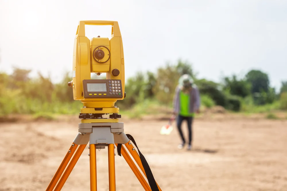
Land Survey are directed to build up the specific location, limits, or development of a plot of land in any stated are. This kind of survey requires proficient registration in all states. As of now, land surveys, by and large, include the accompanying tasks.
Establishing markers or landmarks to characterize and along these lines protect the limits of land having a place with a private concern, a corporation, or the government.
Rerunning old land survey lines to decide their lengths and aspect. Because of the significant expenses of land, old lines are remeasured to get more exact estimations.
Calculating areas, distances, and headings and setting up the land guide to representing the survey information with the goal that it very well may be utilized as a lasting record.

A land survey can determine several attributes of your property that are of use. First, it allows you to determine the precise boundaries of your property. This information can allow you to identify the locations of structures, additions, and improvements of your property. Surveyors typically measure positions in series. Starting at control points, they measure angles and distances to new locations, and use trigonometry to calculate positions in a plane coordinate system.
