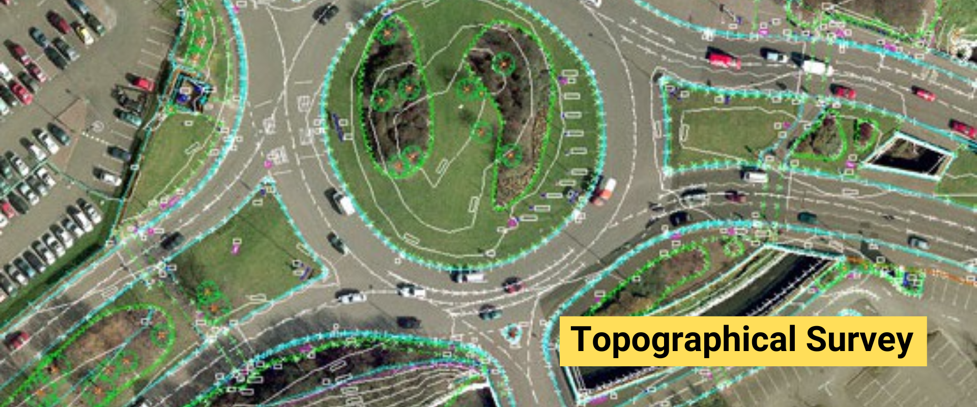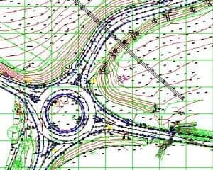

A topographical survey (topo survey) is an accurate depiction of a site (property, area of land, defined boundary) which is scaled and detailed to show all the natural and manmade features and their levels. A topographical survey is highly detailed and requires the involvement of topographic survey professionals to ensure the accuracy and level of detail of the reports provided. Topographic Surveying determining the relative locations of points (places) on the earth’s surface by measuring horizontal distances, differences in elevation and directions.
It shows the height, depth, size and location of any manmade or natural features on a given parcel of land, as well as the changes or contours in elevation throughout the parcel. While boundary surveys focus on horizontal measurements, topographic surveys are about elevation.
A surveying-quality global positioning system (GPS) unit and an electronic distance measurement (EDM) total station theodolite (TST) are used to determine the locations of features shown on the plan. The topography survey shows existing features, property lines, and contour lines that indicate the lay of the land

The purpose of the topo survey is to assess all limitations and considerations relating to the site in question, to allow the architect or property developer to assess the feasibility of the proposed development, as well as decide what can and can’t be done, bearing in mind the findings of the topo survey.
There are several methods of topographical survey. However, triangulation and traverse methods are the most common and recommended. Triangulation involves angular measurements while traverse method, on the other hand, involves the measurement of both horizontal and angular measurements
